


Cascade du Nideck-Schneeberg

geranimo
User

Length
16.1 km

Max alt
956 m

Uphill gradient
787 m
Km-Effort
27 km

Min alt
298 m

Downhill gradient
786 m
Boucle
Yes
Creation date :
2024-05-25 12:43:18.161
Updated on :
2024-05-25 12:45:06.159
6h02
Difficulty : Difficult

FREE GPS app for hiking
 SityTrail
IGN / Geographical institutes
SityTrail Plus
The world is yours!
About
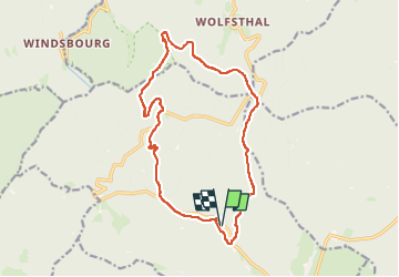
Trail Walking of 16.1 km to be discovered at Grand Est, Bas-Rhin, Oberhaslach. This trail is proposed by geranimo.
Positioning
Country:
France
Region :
Grand Est
Department/Province :
Bas-Rhin
Municipality :
Oberhaslach
Location:
Unknown
Start:(Dec)
Start:(UTM)
374965 ; 5380303 (32U) N.
Comments