


vavincourt-gare meuse TGV

cath310
User
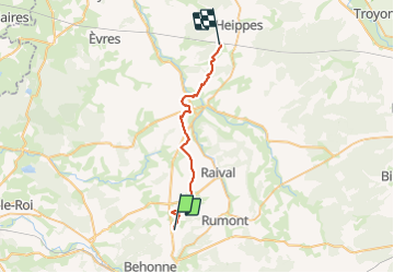

Length
26 km

Max alt
323 m

Uphill gradient
406 m
Km-Effort
32 km

Min alt
227 m

Downhill gradient
426 m
Boucle
No
Creation date :
2015-04-12 00:00:00.0
Updated on :
2015-04-12 00:00:00.0
6h08
Difficulty : Medium

FREE GPS app for hiking
 SityTrail
IGN / Geographical institutes
SityTrail Plus
The world is yours!
About
Trail Walking of 26 km to be discovered at Grand Est, Meuse, Vavincourt. This trail is proposed by cath310.
Description
plateaux, parc éoliens..à faire par beau tps
Positioning
Country:
France
Region :
Grand Est
Department/Province :
Meuse
Municipality :
Vavincourt
Location:
Unknown
Start:(Dec)
Start:(UTM)
662431 ; 5410290 (31U) N.
Comments