


20150414 0rival

doudet
User
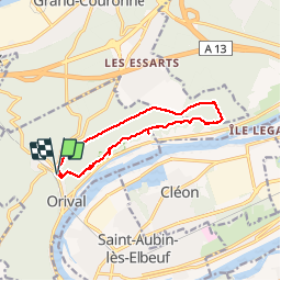

Length
11.1 km

Max alt
139 m

Uphill gradient
308 m
Km-Effort
15.2 km

Min alt
14 m

Downhill gradient
307 m
Boucle
Yes
Creation date :
2018-09-11 09:12:20.711
Updated on :
2018-09-11 09:12:20.711
3h22
Difficulty : Very difficult

FREE GPS app for hiking
 SityTrail
IGN / Geographical institutes
SityTrail Plus
The world is yours!
About
Trail Walking of 11.1 km to be discovered at Normandy, Seine-Maritime, Orival. This trail is proposed by doudet.
Description
Boucle A-R à partir de l'Auberge des Marronniers d'Orival (Tournant du Nouveau-Monde)
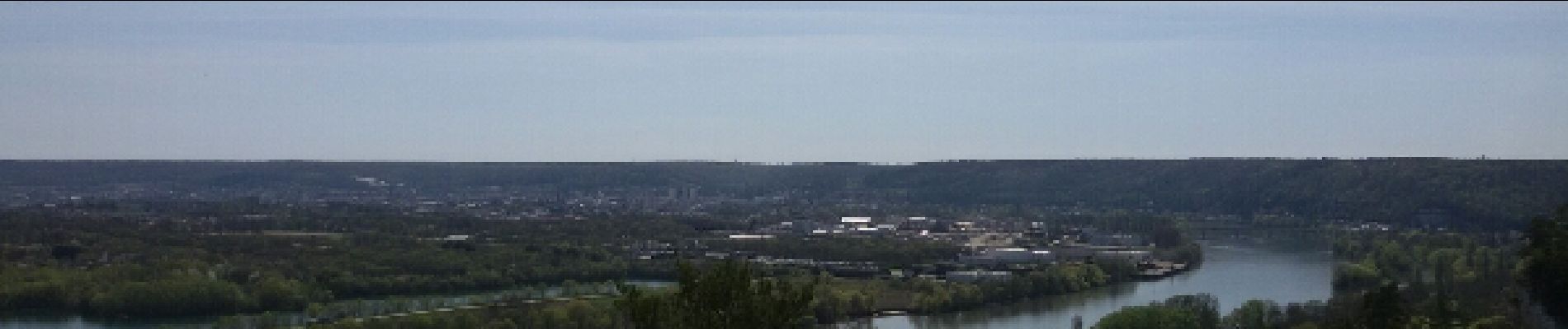
Photos


Positioning
Country:
France
Region :
Normandy
Department/Province :
Seine-Maritime
Municipality :
Orival
Location:
Unknown
Start:(Dec)
Start:(UTM)
354272 ; 5464732 (31U) N.
Comments
