


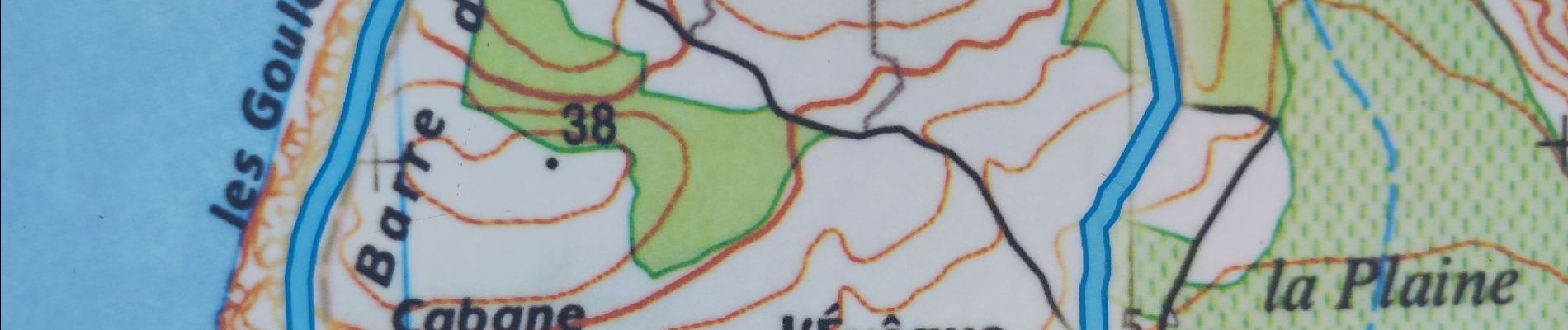
randonnée les goules Gruissan

Daron34
User
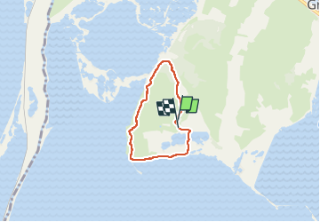

Length
4.6 km

Max alt
30 m

Uphill gradient
58 m
Km-Effort
5.4 km

Min alt
-3 m

Downhill gradient
64 m
Boucle
Yes
Creation date :
2024-06-06 13:38:09.912
Updated on :
2024-06-06 14:59:32.294
1h20
Difficulty : Easy

FREE GPS app for hiking
 SityTrail
IGN / Geographical institutes
SityTrail Plus
The world is yours!
About
Trail Walking of 4.6 km to be discovered at Occitania, Aude, Gruissan. This trail is proposed by Daron34.
Description
au départ du parking des vins de Pierre Richard randonnée de 4 km 500 environ 1h30 avec pausee pour photo
Photos

Positioning
Country:
France
Region :
Occitania
Department/Province :
Aude
Municipality :
Gruissan
Location:
Unknown
Start:(Dec)
Start:(UTM)
504571 ; 4770591 (31T) N.
Comments