Trail Walking Gedinne - Vencimont 050624 - Photo

Vencimont 050624

© OpenStreetMap contributors
Length
Length
31 km
Max alt
Max alt
378 m
Uphill gradient
Uphill gradient
819 m
Km-Effort
Km-Effort  
42 km
Min alt
Min alt
194 m
Downhill gradient
Downhill gradient
818 m
Boucle
Boucle
Yes
Creation date :
2024-06-05 06:50:57.114
Updated on :
2024-06-10 20:35:53.861

(0 Reviews)

Walking
Walking
7h56
Difficulty : Difficult

Scan this QR Code to open this trail in the SityTrail application

FREE GPS app for hiking

Logo SityTrail SityTrail

IGN / Geographical institutes

Download SityTrail from the App Store Download SityTrail from Google Play

Logo SityTrail SityTrail Plus

The world is yours!

Download SityTrail from the App Store Download SityTrail from Google Play Download SityTrail on Huawei AppGallery

About

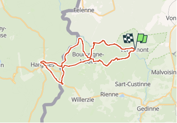
Trail Walking of 31 km to be discovered at Wallonia, Namur, Gedinne. This trail is proposed by guyernage25.
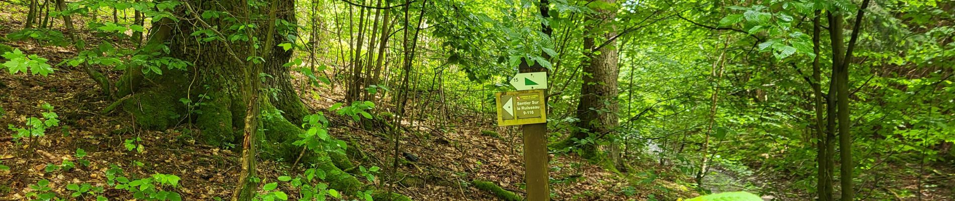
Description

Grande boucle vers Hargnies.
Attention au passage de la frontière à l aller il n y a plus de passerelle il est nécessaire de prendre un bain de pieds

Elevation profile

Photos

35 photos in total. Please click on a photo to see them all in the gallery.

Positioning

Country:
Belgium
Region :
Wallonia
Department/Province :
Namur
Municipality :
Gedinne
Location:
Unknown
Start:(UTM)
637570 ; 5544018 (31U) N.


Close
My subscriptions