


hier

avdem
User

Length
35 km

Max alt
1336 m

Uphill gradient
769 m
Km-Effort
45 km

Min alt
890 m

Downhill gradient
877 m
Boucle
No
Creation date :
2024-06-11 07:27:08.667
Updated on :
2024-06-12 07:22:27.241
12h41
Difficulty : Easy

FREE GPS app for hiking
 SityTrail
IGN / Geographical institutes
SityTrail Plus
The world is yours!
About
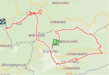
Trail Walking of 35 km to be discovered at Occitania, Aveyron, Curières. This trail is proposed by avdem.
Description
bien
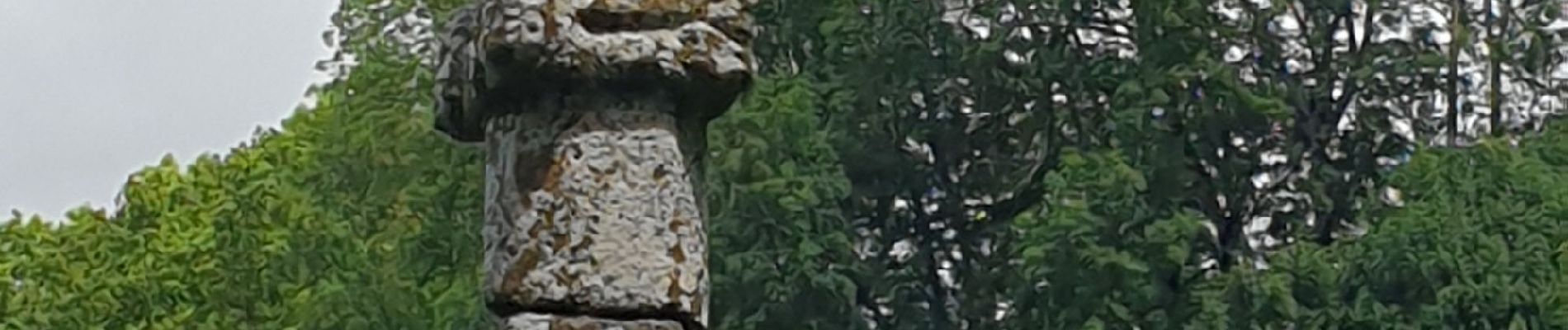
Photos


Positioning
Country:
France
Region :
Occitania
Department/Province :
Aveyron
Municipality :
Curières
Location:
Unknown
Start:(Dec)
Start:(UTM)
489478 ; 4944585 (31T) N.
Comments