


St urcize

avdem
User
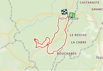

Length
16.4 km

Max alt
1362 m

Uphill gradient
433 m
Km-Effort
22 km

Min alt
1090 m

Downhill gradient
408 m
Boucle
No
Creation date :
2024-06-14 07:30:52.198
Updated on :
2024-06-14 13:28:40.079
5h55
Difficulty : Easy

FREE GPS app for hiking
 SityTrail
IGN / Geographical institutes
SityTrail Plus
The world is yours!
About
Trail Walking of 16.4 km to be discovered at Auvergne-Rhône-Alpes, Cantal, Saint-Urcize. This trail is proposed by avdem.
Description
facie
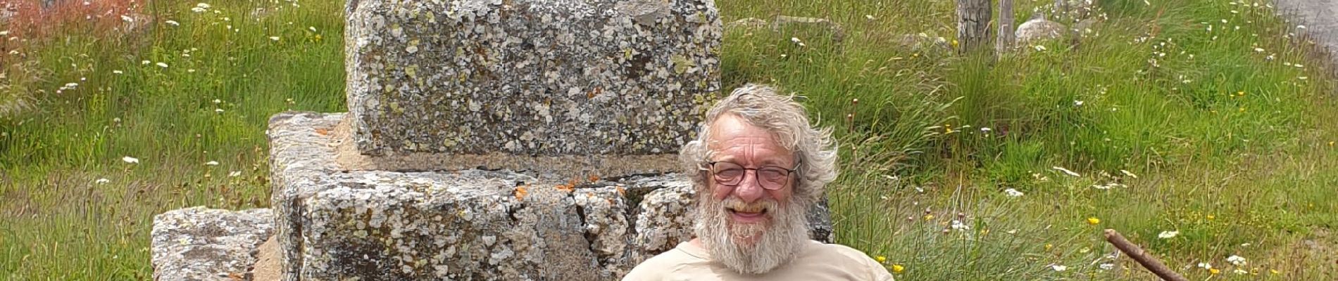
Photos


Positioning
Country:
France
Region :
Auvergne-Rhône-Alpes
Department/Province :
Cantal
Municipality :
Saint-Urcize
Location:
Unknown
Start:(Dec)
Start:(UTM)
500208 ; 4948889 (31T) N.
Comments