


coupe de jaujac

gnortier
User
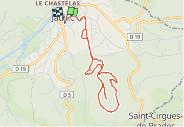

Length
5.3 km

Max alt
568 m

Uphill gradient
164 m
Km-Effort
7.5 km

Min alt
407 m

Downhill gradient
165 m
Boucle
Yes
Creation date :
2024-06-19 12:55:33.757
Updated on :
2024-06-19 14:59:57.074
1h59
Difficulty : Medium

FREE GPS app for hiking
 SityTrail
IGN / Geographical institutes
SityTrail Plus
The world is yours!
About
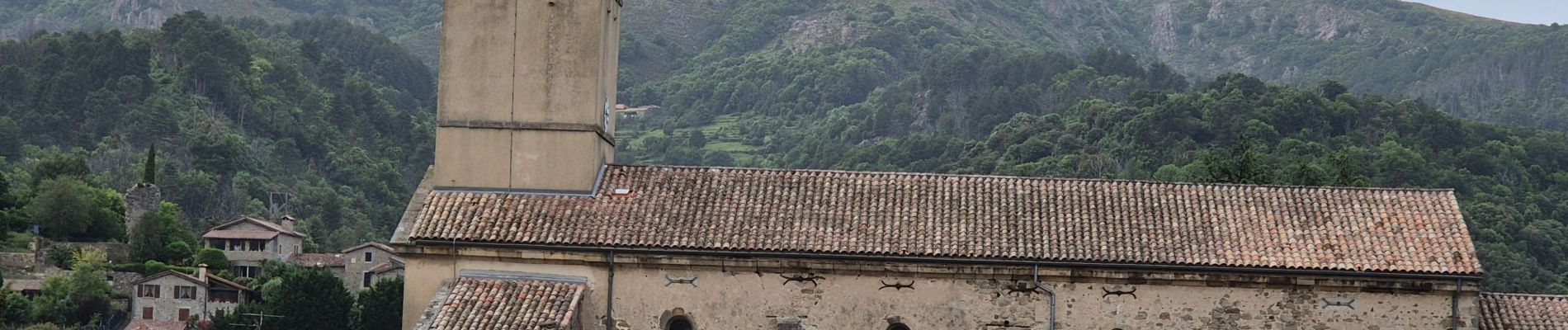
Trail Walking of 5.3 km to be discovered at Auvergne-Rhône-Alpes, Ardèche, Jaujac. This trail is proposed by gnortier.
Photos


Positioning
Country:
France
Region :
Auvergne-Rhône-Alpes
Department/Province :
Ardèche
Municipality :
Jaujac
Location:
Unknown
Start:(Dec)
Start:(UTM)
599619 ; 4943254 (31T) N.
Comments