


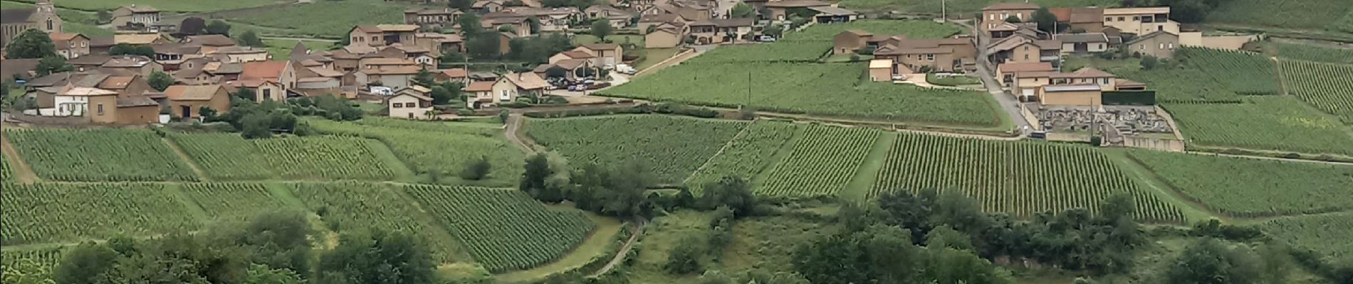
Vergisson Les deux Roches page 76

grasgilbert
User
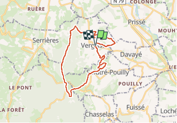

Length
15.2 km

Max alt
578 m

Uphill gradient
538 m
Km-Effort
22 km

Min alt
277 m

Downhill gradient
537 m
Boucle
Yes
Creation date :
2024-06-20 07:57:22.41
Updated on :
2024-06-20 16:14:02.666
5h04
Difficulty : Very difficult

FREE GPS app for hiking
 SityTrail
IGN / Geographical institutes
SityTrail Plus
The world is yours!
About
Trail Walking of 15.2 km to be discovered at Bourgogne-Franche-Comté, Saône-et-Loire, Vergisson. This trail is proposed by grasgilbert.
Description
ne pas faire à l'envers
pour randonneurs avertis
Photos


Positioning
Country:
France
Region :
Bourgogne-Franche-Comté
Department/Province :
Saône-et-Loire
Municipality :
Vergisson
Location:
Unknown
Start:(Dec)
Start:(UTM)
632158 ; 5129852 (31T) N.
Comments