


Diois 2024 1ère journée

planets
User
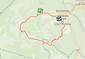

Length
22 km

Max alt
1845 m

Uphill gradient
958 m
Km-Effort
35 km

Min alt
980 m

Downhill gradient
1073 m
Boucle
No
Creation date :
2024-06-22 07:16:27.061
Updated on :
2024-06-22 16:17:39.959
4h59
Difficulty : Medium

FREE GPS app for hiking
 SityTrail
IGN / Geographical institutes
SityTrail Plus
The world is yours!
About
Trail Walking of 22 km to be discovered at Auvergne-Rhône-Alpes, Isère, Chichilianne. This trail is proposed by planets.
Description
Chichilianne Pas de l'aiguille vers Pas de l'essaure et retour à Chichilianne
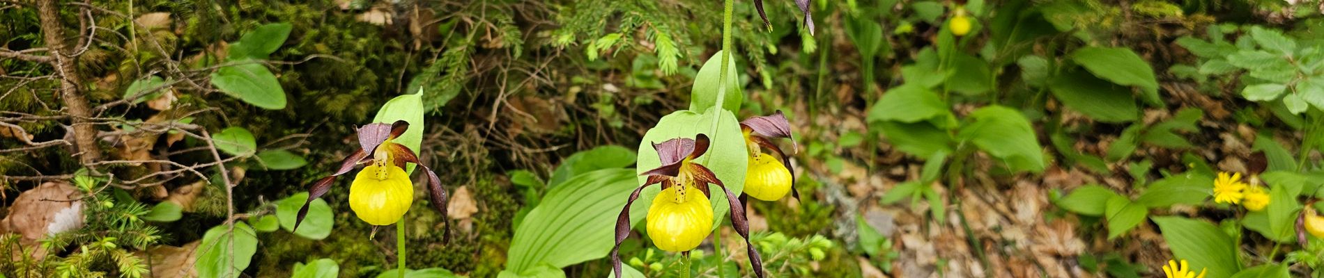
Photos


Positioning
Country:
France
Region :
Auvergne-Rhône-Alpes
Department/Province :
Isère
Municipality :
Chichilianne
Location:
Unknown
Start:(Dec)
Start:(UTM)
700571 ; 4966064 (31T) N.
Comments