


les trois bornes ...voir info

stef789
User GUIDE
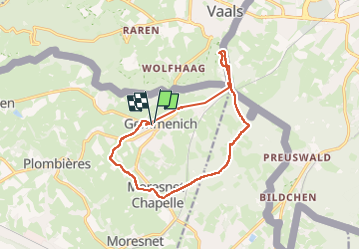

Length
12.8 km

Max alt
349 m

Uphill gradient
244 m
Km-Effort
16.1 km

Min alt
173 m

Downhill gradient
244 m
Boucle
Yes
Creation date :
2024-06-23 11:44:06.76
Updated on :
2024-06-23 16:06:03.294
4h17
Difficulty : Easy

FREE GPS app for hiking
 SityTrail
IGN / Geographical institutes
SityTrail Plus
The world is yours!
About
Trail Walking of 12.8 km to be discovered at Wallonia, Liège, Plombières. This trail is proposed by stef789.
Description
petit bug informatique dans la première partie suivez le ravel puis la route
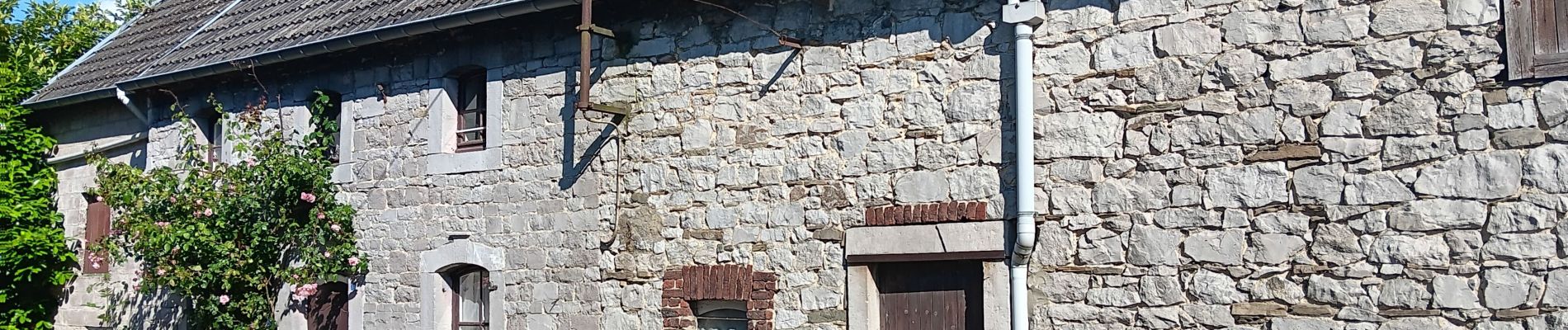
Photos


29 photos in total. Please click on a photo to see them all in the gallery.
Positioning
Country:
Belgium
Region :
Wallonia
Department/Province :
Liège
Municipality :
Plombières
Location:
Unknown
Start:(Dec)
Start:(UTM)
711257 ; 5625918 (31U) N.
Comments