


liverdun

any1950
User
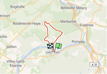

Length
16.9 km

Max alt
352 m

Uphill gradient
280 m
Km-Effort
21 km

Min alt
198 m

Downhill gradient
280 m
Boucle
Yes
Creation date :
2024-06-23 12:02:04.771
Updated on :
2024-06-23 16:23:16.473
4h20
Difficulty : Very difficult

FREE GPS app for hiking
 SityTrail
IGN / Geographical institutes
SityTrail Plus
The world is yours!
About
Trail Walking of 16.9 km to be discovered at Grand Est, Meurthe-et-Moselle, Liverdun. This trail is proposed by any1950.
Description
beaucoup de route
Positioning
Country:
France
Region :
Grand Est
Department/Province :
Meurthe-et-Moselle
Municipality :
Liverdun
Location:
Unknown
Start:(Dec)
Start:(UTM)
284491 ; 5403681 (32U) N.
Comments