


240625 - Obernai - Bischoffsheim

randodan
User
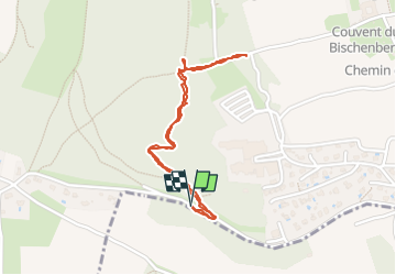

Length
1.9 km

Max alt
361 m

Uphill gradient
60 m
Km-Effort
2.7 km

Min alt
306 m

Downhill gradient
59 m
Boucle
Yes
Creation date :
2024-06-25 08:30:34.84
Updated on :
2024-06-25 09:25:17.284
53m
Difficulty : Easy

FREE GPS app for hiking
 SityTrail
IGN / Geographical institutes
SityTrail Plus
The world is yours!
About
Trail Walking of 1.9 km to be discovered at Grand Est, Bas-Rhin, Bischoffsheim. This trail is proposed by randodan.
Description
cul de sac pour le sommet
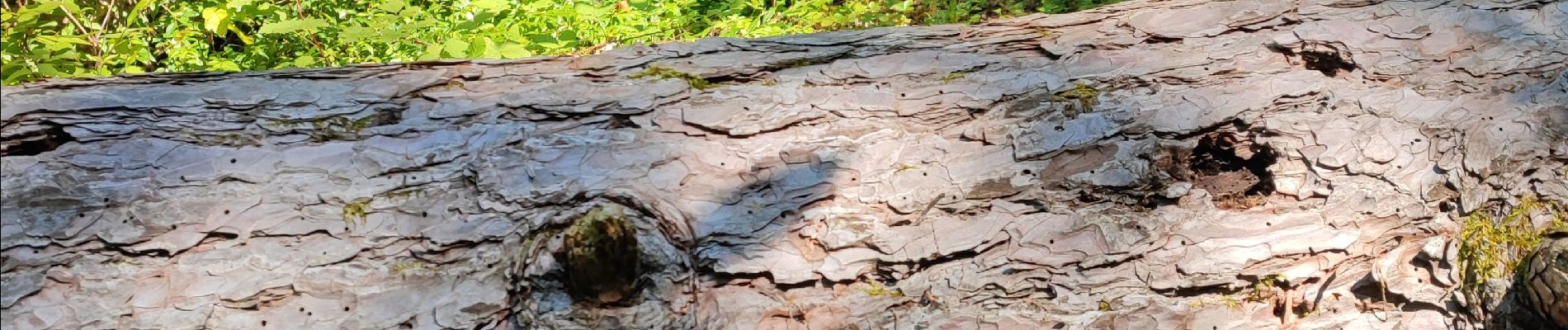
Photos

Positioning
Country:
France
Region :
Grand Est
Department/Province :
Bas-Rhin
Municipality :
Bischoffsheim
Location:
Unknown
Start:(Dec)
Start:(UTM)
387116 ; 5370585 (32U) N.
Comments