


Arête de super Morzine

labarone
User
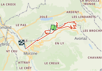

Length
14.7 km

Max alt
1789 m

Uphill gradient
463 m
Km-Effort
23 km

Min alt
943 m

Downhill gradient
1249 m
Boucle
No
Creation date :
2024-06-25 07:28:47.444
Updated on :
2024-06-25 12:32:34.672
5h02
Difficulty : Medium

FREE GPS app for hiking
 SityTrail
IGN / Geographical institutes
SityTrail Plus
The world is yours!
About
Trail Walking of 14.7 km to be discovered at Auvergne-Rhône-Alpes, Upper Savoy, Morzine. This trail is proposed by labarone.
Description
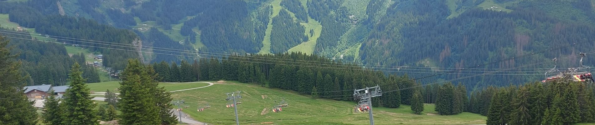
un très beau lac vu du haut
Photos


Positioning
Country:
France
Region :
Auvergne-Rhône-Alpes
Department/Province :
Upper Savoy
Municipality :
Morzine
Location:
Unknown
Start:(Dec)
Start:(UTM)
325044 ; 5118347 (32T) N.
Comments