


240626 - Obernai - VVF-ParcSanté.Ehm

randodan
User
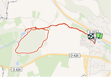

Length
5.9 km

Max alt
257 m

Uphill gradient
73 m
Km-Effort
6.9 km

Min alt
199 m

Downhill gradient
73 m
Boucle
Yes
Creation date :
2024-06-26 05:53:43.362
Updated on :
2024-06-29 10:21:36.224
2h23
Difficulty : Easy

FREE GPS app for hiking
 SityTrail
IGN / Geographical institutes
SityTrail Plus
The world is yours!
About
Trail Walking of 5.9 km to be discovered at Grand Est, Bas-Rhin, Obernai. This trail is proposed by randodan.
Description
Ce que j'avais fait en guise d'échauffement il y a 9 ans. Toujours aussi bien
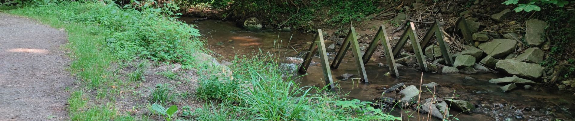
Photos


Positioning
Country:
France
Region :
Grand Est
Department/Province :
Bas-Rhin
Municipality :
Obernai
Location:
Unknown
Start:(Dec)
Start:(UTM)
386850 ; 5369197 (32U) N.
Comments