


Reculais 06 2024

alinetpierre
User
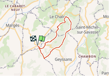

Length
11.7 km

Max alt
485 m

Uphill gradient
298 m
Km-Effort
15.6 km

Min alt
306 m

Downhill gradient
298 m
Boucle
Yes
Creation date :
2024-06-26 12:05:22.0
Updated on :
2024-06-26 17:47:27.488
3h33
Difficulty : Difficult

FREE GPS app for hiking
 SityTrail
IGN / Geographical institutes
SityTrail Plus
The world is yours!
About
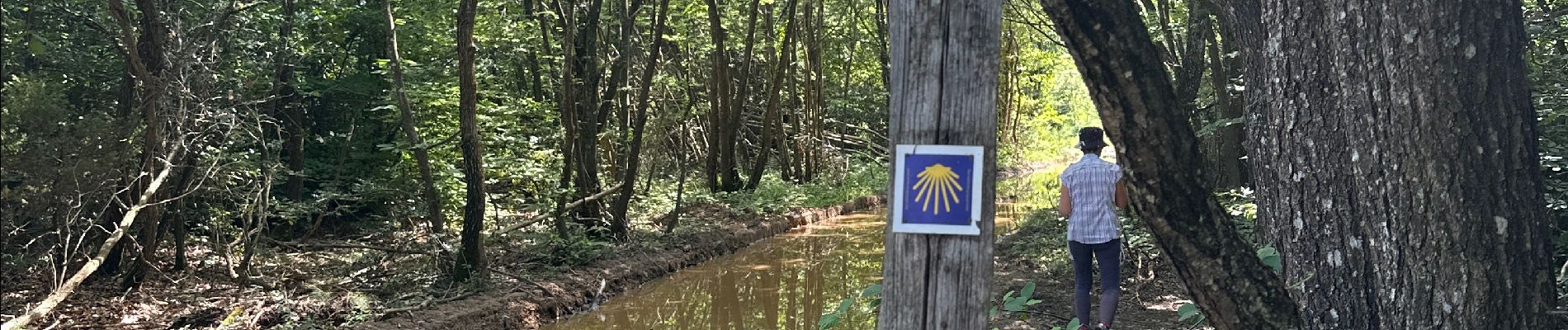
Trail Walking of 11.7 km to be discovered at Auvergne-Rhône-Alpes, Drôme, Arthémonay. This trail is proposed by alinetpierre.
Description
Pour azur
Photos


Positioning
Country:
France
Region :
Auvergne-Rhône-Alpes
Department/Province :
Drôme
Municipality :
Arthémonay
Location:
Unknown
Start:(Dec)
Start:(UTM)
662353 ; 4999666 (31T) N.
Comments