


Montagne de Courreau

ramsay
User

Length
37 km

Max alt
1433 m

Uphill gradient
956 m
Km-Effort
50 km

Min alt
924 m

Downhill gradient
828 m
Boucle
No
Creation date :
2015-04-21 00:00:00.0
Updated on :
2015-04-21 00:00:00.0
3h13
Difficulty : Difficult

FREE GPS app for hiking
 SityTrail
IGN / Geographical institutes
SityTrail Plus
The world is yours!
About
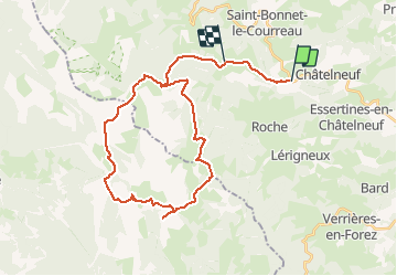
Trail Mountain bike of 37 km to be discovered at Auvergne-Rhône-Alpes, Loire, Châtelneuf. This trail is proposed by ramsay.
Positioning
Country:
France
Region :
Auvergne-Rhône-Alpes
Department/Province :
Loire
Municipality :
Châtelneuf
Location:
Unknown
Start:(Dec)
Start:(UTM)
574764 ; 5053831 (31T) N.
Comments