


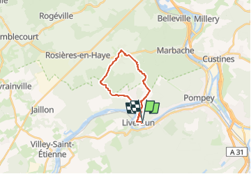
Liverdun 04/07

Nila81
User

Length
15.8 km

Max alt
324 m

Uphill gradient
268 m
Km-Effort
19.4 km

Min alt
197 m

Downhill gradient
269 m
Boucle
Yes
Creation date :
2024-06-28 09:27:22.273
Updated on :
2024-06-28 09:28:08.372
4h24
Difficulty : Very difficult

FREE GPS app for hiking
 SityTrail
IGN / Geographical institutes
SityTrail Plus
The world is yours!
About
Trail Walking of 15.8 km to be discovered at Grand Est, Meurthe-et-Moselle, Liverdun. This trail is proposed by Nila81.
Positioning
Country:
France
Region :
Grand Est
Department/Province :
Meurthe-et-Moselle
Municipality :
Liverdun
Location:
Unknown
Start:(Dec)
Start:(UTM)
284439 ; 5403726 (32U) N.
Comments