


Corrençon en Vercors

alinetpierre
User
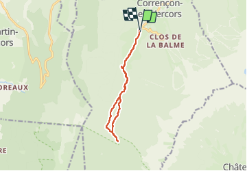

Length
10.7 km

Max alt
1388 m

Uphill gradient
247 m
Km-Effort
14.1 km

Min alt
1143 m

Downhill gradient
258 m
Boucle
Yes
Creation date :
2024-07-01 08:28:09.0
Updated on :
2024-07-01 13:50:25.69

FREE GPS app for hiking
 SityTrail
IGN / Geographical institutes
SityTrail Plus
The world is yours!
About
Trail of 10.7 km to be discovered at Auvergne-Rhône-Alpes, Isère, Corrençon-en-Vercors. This trail is proposed by alinetpierre.
Description
Rando azur lundi 1 juillet 2024
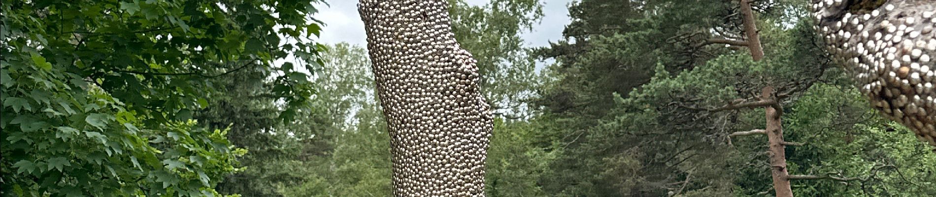
Photos


Positioning
Country:
France
Region :
Auvergne-Rhône-Alpes
Department/Province :
Isère
Municipality :
Corrençon-en-Vercors
Location:
Unknown
Start:(Dec)
Start:(UTM)
698343 ; 4988613 (31T) N.
Comments