


2 juillet

arnoultjf
User
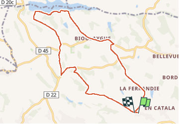

Length
10.6 km

Max alt
252 m

Uphill gradient
191 m
Km-Effort
13.2 km

Min alt
172 m

Downhill gradient
191 m
Boucle
Yes
Creation date :
2024-07-02 12:10:43.025
Updated on :
2024-07-02 14:45:51.0
2h34
Difficulty : Difficult

FREE GPS app for hiking
 SityTrail
IGN / Geographical institutes
SityTrail Plus
The world is yours!
About
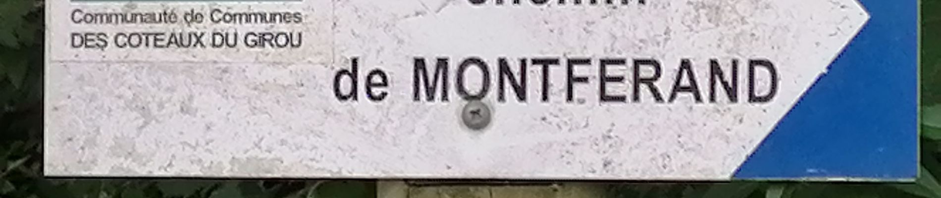
Trail Walking of 10.6 km to be discovered at Occitania, Haute-Garonne, Verfeil. This trail is proposed by arnoultjf.
Photos


Positioning
Country:
France
Region :
Occitania
Department/Province :
Haute-Garonne
Municipality :
Verfeil
Location:
Unknown
Start:(Dec)
Start:(UTM)
394279 ; 4835752 (31T) N.
Comments