


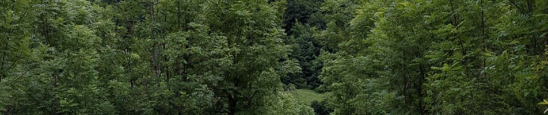
refuge du Tourond et cascade de la pisse

PhilB24
User


4h16
Difficulty : Difficult

FREE GPS app for hiking
 SityTrail
IGN / Geographical institutes
SityTrail Plus
The world is yours!
About
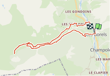
Trail Walking of 10.7 km to be discovered at Provence-Alpes-Côte d'Azur, Hautes-Alpes, Champoléon. This trail is proposed by PhilB24.
Description
Randonnée sans difficulté technique particulière. Accueil très sympa au refuge et possibilité de prendre une assiette montagnarde ou végétarienne, 20€ (réservation préalable obligatoire). Vers la fin, retour par la route obligatoire car le pont sur le torrent du Tourond est détruit.
Photos


Positioning
Comments