


Rocher de l'ours-col de l'arc depuis le parking de la conversaria

alinetpierre
User
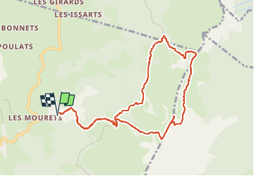

Length
10.8 km

Max alt
2011 m

Uphill gradient
902 m
Km-Effort
23 km

Min alt
1176 m

Downhill gradient
902 m
Boucle
Yes
Creation date :
2024-07-04 06:29:56.254
Updated on :
2024-07-04 14:29:19.48
3h57
Difficulty : Difficult

FREE GPS app for hiking
 SityTrail
IGN / Geographical institutes
SityTrail Plus
The world is yours!
About
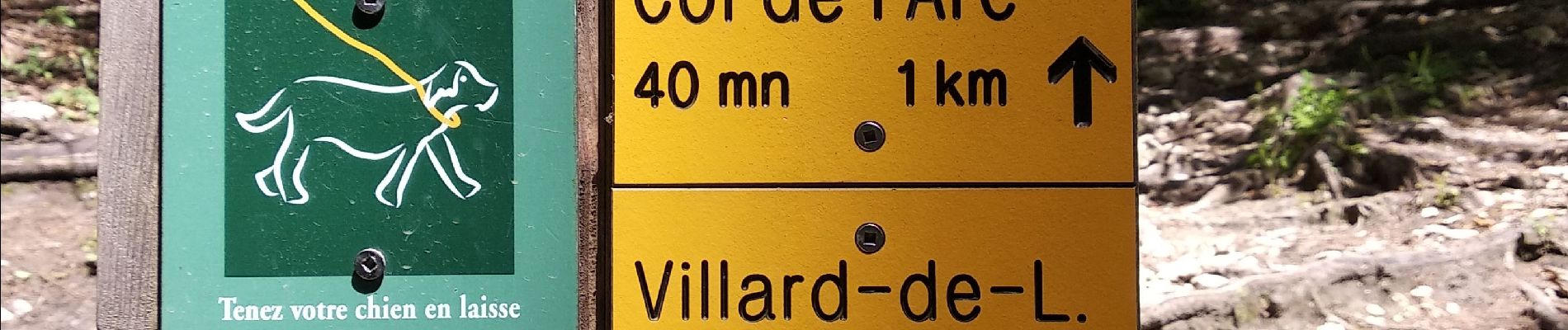
Trail Walking of 10.8 km to be discovered at Auvergne-Rhône-Alpes, Isère, Villard-de-Lans. This trail is proposed by alinetpierre.
Photos


Positioning
Country:
France
Region :
Auvergne-Rhône-Alpes
Department/Province :
Isère
Municipality :
Villard-de-Lans
Location:
Unknown
Start:(Dec)
Start:(UTM)
703053 ; 4994256 (31T) N.
Comments