


Boucle de Charneux 17 Km

Efr
User
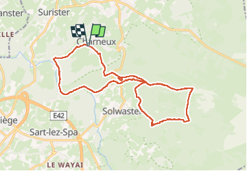

Length
17 km

Max alt
506 m

Uphill gradient
424 m
Km-Effort
23 km

Min alt
281 m

Downhill gradient
427 m
Boucle
Yes
Creation date :
2024-07-07 08:40:53.0
Updated on :
2025-07-29 09:26:31.702
5h09
Difficulty : Very difficult

FREE GPS app for hiking
 SityTrail
IGN / Geographical institutes
SityTrail Plus
The world is yours!
About
Trail Walking of 17 km to be discovered at Wallonia, Liège, Jalhay. This trail is proposed by Efr.
Description
depart : Charneux 72 4845 Jalhay
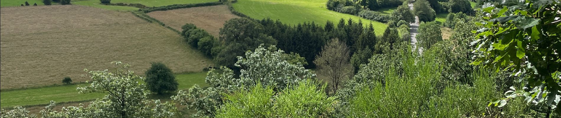
Photos


26 photos in total. Please click on a photo to see them all in the gallery.
Positioning
Country:
Belgium
Region :
Wallonia
Department/Province :
Liège
Municipality :
Jalhay
Location:
Unknown
Start:(Dec)
Start:(UTM)
709074 ; 5603370 (31U) N.
Comments