


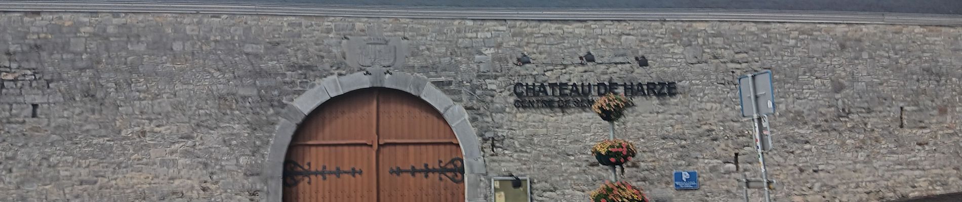
harze . chapelle ste Anne. rouge minière . St roch . harze

stef789
User GUIDE
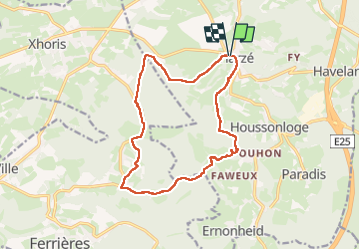

Length
14.1 km

Max alt
384 m

Uphill gradient
410 m
Km-Effort
19.6 km

Min alt
228 m

Downhill gradient
410 m
Boucle
Yes
Creation date :
2024-07-11 10:34:34.083
Updated on :
2024-07-11 14:57:19.095
4h16
Difficulty : Medium

FREE GPS app for hiking
 SityTrail
IGN / Geographical institutes
SityTrail Plus
The world is yours!
About
Trail Walking of 14.1 km to be discovered at Wallonia, Liège, Aywaille. This trail is proposed by stef789.
Photos


40 photos in total. Please click on a photo to see them all in the gallery.
Positioning
Country:
Belgium
Region :
Wallonia
Department/Province :
Liège
Municipality :
Aywaille
Location:
Unknown
Start:(Dec)
Start:(UTM)
689227 ; 5591087 (31U) N.
Comments