


balades en passant par rocamadour

bernardb2
User
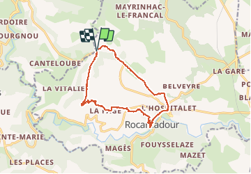

Length
16.7 km

Max alt
321 m

Uphill gradient
332 m
Km-Effort
21 km

Min alt
157 m

Downhill gradient
335 m
Boucle
Yes
Creation date :
2015-04-28 00:00:00.0
Updated on :
2015-04-28 00:00:00.0
4h02
Difficulty : Easy

FREE GPS app for hiking
 SityTrail
IGN / Geographical institutes
SityTrail Plus
The world is yours!
About
Trail Other activity of 16.7 km to be discovered at Occitania, Lot, Rocamadour. This trail is proposed by bernardb2.
Description
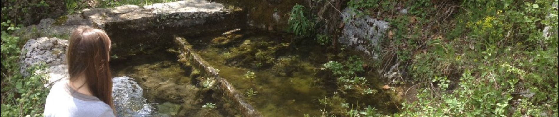
balade autour de rocamadour
Photos


Positioning
Country:
France
Region :
Occitania
Department/Province :
Lot
Municipality :
Rocamadour
Location:
Unknown
Start:(Dec)
Start:(UTM)
388630 ; 4964503 (31T) N.
Comments