


ailrs

begnez
User
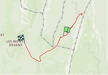

Length
6.4 km

Max alt
1478 m

Uphill gradient
170 m
Km-Effort
9.6 km

Min alt
1097 m

Downhill gradient
436 m
Boucle
No
Creation date :
2024-07-20 07:19:41.378
Updated on :
2024-07-26 07:10:53.441
2h50
Difficulty : Easy

FREE GPS app for hiking
 SityTrail
IGN / Geographical institutes
SityTrail Plus
The world is yours!
About
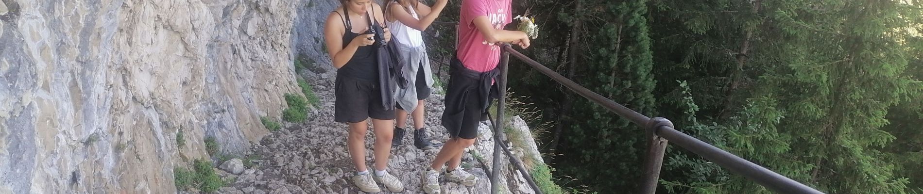
Trail Walking of 6.4 km to be discovered at Auvergne-Rhône-Alpes, Upper Savoy, Doussard. This trail is proposed by begnez.
Photos


Positioning
Country:
France
Region :
Auvergne-Rhône-Alpes
Department/Province :
Upper Savoy
Municipality :
Doussard
Location:
Unknown
Start:(Dec)
Start:(UTM)
281361 ; 5068697 (32T) N.
Comments