


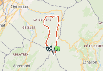
lac de genin - bretouze / retour

stef789
User GUIDE

Length
10.9 km

Max alt
975 m

Uphill gradient
434 m
Km-Effort
16.7 km

Min alt
769 m

Downhill gradient
433 m
Boucle
Yes
Creation date :
2024-07-28 10:11:22.65
Updated on :
2024-07-28 19:27:29.781
4h17
Difficulty : Medium

FREE GPS app for hiking
 SityTrail
IGN / Geographical institutes
SityTrail Plus
The world is yours!
About
Trail Walking of 10.9 km to be discovered at Auvergne-Rhône-Alpes, Ain, Charix. This trail is proposed by stef789.
Description
rando vraiment pas géniale ...
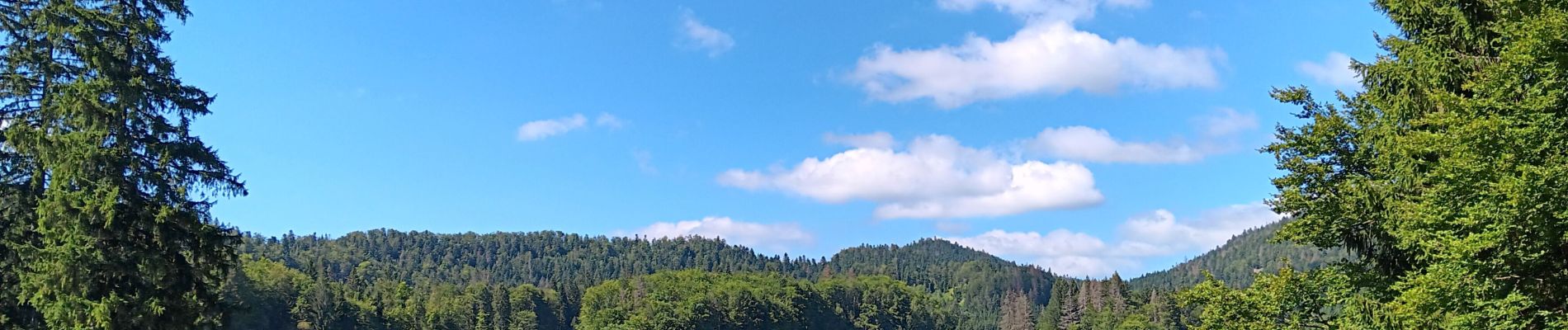
Photos


22 photos in total. Please click on a photo to see them all in the gallery.
Positioning
Country:
France
Region :
Auvergne-Rhône-Alpes
Department/Province :
Ain
Municipality :
Charix
Location:
Unknown
Start:(Dec)
Start:(UTM)
707978 ; 5121679 (31T) N.
Comments