


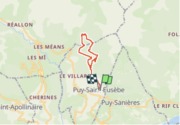
canal de reyssas jusqu'aux Touisses / retour par le GR Serre-Ponçon via ravin de la pisse

stef789
User GUIDE


4h51
Difficulty : Medium

FREE GPS app for hiking
 SityTrail
IGN / Geographical institutes
SityTrail Plus
The world is yours!
About
Trail Walking of 9.7 km to be discovered at Provence-Alpes-Côte d'Azur, Hautes-Alpes, Puy-Saint-Eusèbe. This trail is proposed by stef789.
Description
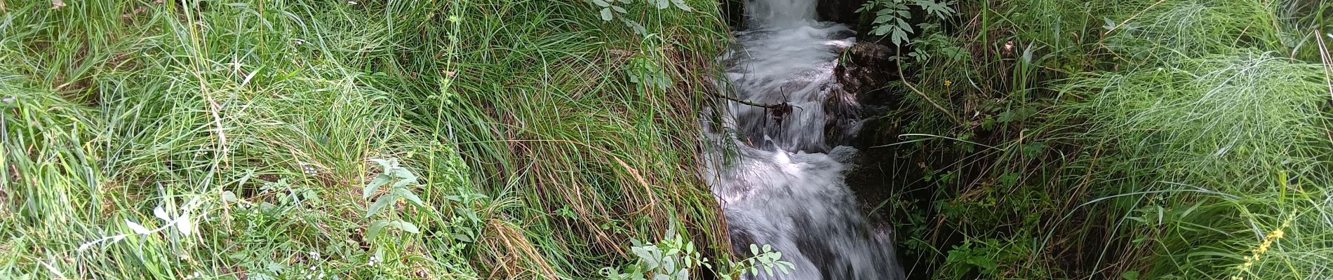
à la photo 11 traversée du torrent : tout petit chemin qui descend dans le ruisseau et remonte de l autre côté
Photos


30 photos in total. Please click on a photo to see them all in the gallery.
Positioning
Comments