


rikiki tour barcelonette

stef789
User GUIDE
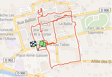

Length
2.2 km

Max alt
1146 m

Uphill gradient
20 m
Km-Effort
2.5 km

Min alt
1136 m

Downhill gradient
20 m
Boucle
Yes
Creation date :
2024-08-05 13:54:35.888
Updated on :
2024-08-06 11:56:26.356
1h04
Difficulty : Easy

FREE GPS app for hiking
 SityTrail
IGN / Geographical institutes
SityTrail Plus
The world is yours!
About
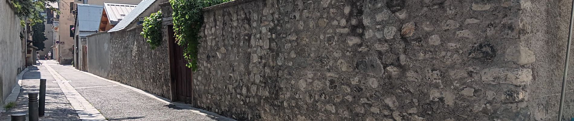
Trail Walking of 2.2 km to be discovered at Provence-Alpes-Côte d'Azur, Alpes-de-Haute-Provence, Barcelonnette. This trail is proposed by stef789.
Photos


Positioning
Country:
France
Region :
Provence-Alpes-Côte d'Azur
Department/Province :
Alpes-de-Haute-Provence
Municipality :
Barcelonnette
Location:
Unknown
Start:(Dec)
Start:(UTM)
312918 ; 4917399 (32T) N.
Comments