


logbierme 060824

guyernage25
User
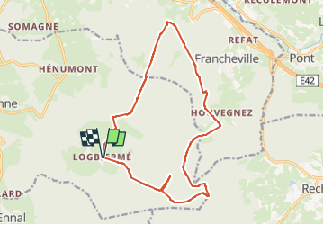

Length
15.6 km

Max alt
599 m

Uphill gradient
302 m
Km-Effort
19.6 km

Min alt
468 m

Downhill gradient
301 m
Boucle
Yes
Creation date :
2024-08-06 07:47:18.328
Updated on :
2024-08-06 12:31:58.008
4h43
Difficulty : Difficult

FREE GPS app for hiking
 SityTrail
IGN / Geographical institutes
SityTrail Plus
The world is yours!
About
Trail Walking of 15.6 km to be discovered at Wallonia, Liège, Trois-Ponts. This trail is proposed by guyernage25.
Description
belle rando forestiere
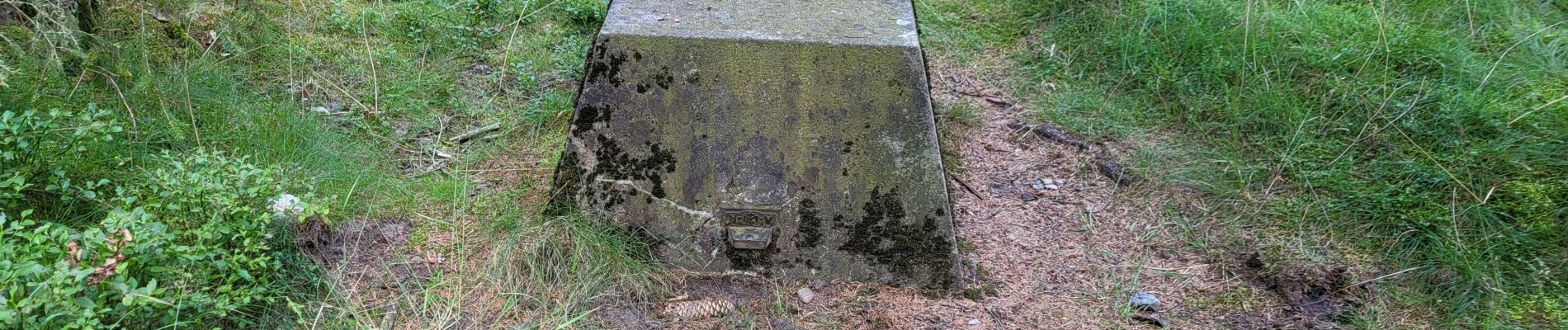
Photos


Positioning
Country:
Belgium
Region :
Wallonia
Department/Province :
Liège
Municipality :
Trois-Ponts
Location:
Unknown
Start:(Dec)
Start:(UTM)
710742 ; 5580895 (31U) N.
Comments