


mon rikiki tour d embrun

stef789
User GUIDE
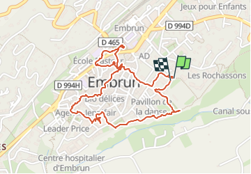

Length
2.6 km

Max alt
877 m

Uphill gradient
70 m
Km-Effort
3.5 km

Min alt
814 m

Downhill gradient
68 m
Boucle
Yes
Creation date :
2024-08-07 12:55:41.22
Updated on :
2024-08-07 14:34:24.552
1h38
Difficulty : Very easy

FREE GPS app for hiking
 SityTrail
IGN / Geographical institutes
SityTrail Plus
The world is yours!
About
Trail Walking of 2.6 km to be discovered at Provence-Alpes-Côte d'Azur, Hautes-Alpes, Embrun. This trail is proposed by stef789.
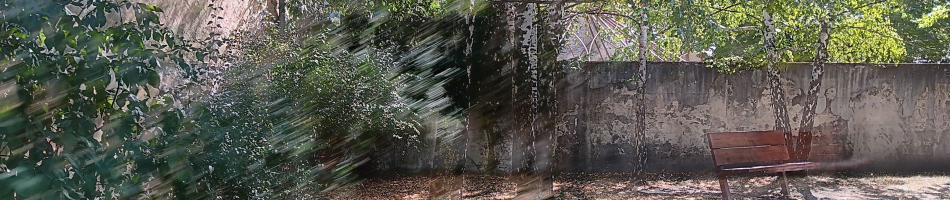
Photos


27 photos in total. Please click on a photo to see them all in the gallery.
Positioning
Country:
France
Region :
Provence-Alpes-Côte d'Azur
Department/Province :
Hautes-Alpes
Municipality :
Embrun
Location:
Unknown
Start:(Dec)
Start:(UTM)
301436 ; 4937597 (32T) N.
Comments