


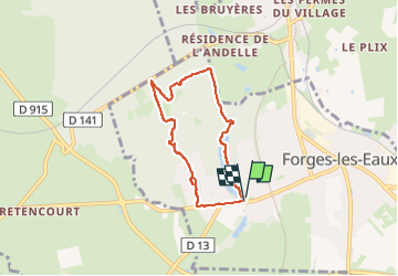
Forges les Eaux.Vers la fontaine de la Chevrette

MichelRando7656
User

Length
5.5 km

Max alt
168 m

Uphill gradient
57 m
Km-Effort
6.2 km

Min alt
132 m

Downhill gradient
58 m
Boucle
Yes
Creation date :
2024-08-08 12:30:42.585
Updated on :
2024-08-08 14:07:03.99
1h35
Difficulty : Medium

FREE GPS app for hiking
 SityTrail
IGN / Geographical institutes
SityTrail Plus
The world is yours!
About
Trail Walking of 5.5 km to be discovered at Normandy, Seine-Maritime, Forges-les-Eaux. This trail is proposed by MichelRando7656.
Description
Beau parcours forestier.
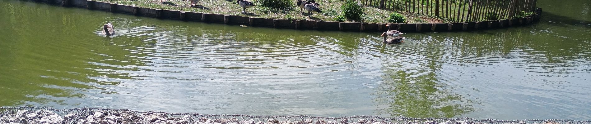
Photos


Positioning
Country:
France
Region :
Normandy
Department/Province :
Seine-Maritime
Municipality :
Forges-les-Eaux
Location:
Forges-les-Eaux
Start:(Dec)
Start:(UTM)
393871 ; 5496224 (31U) N.
Comments