


Lesve 090824

guyernage25
User
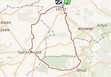

Length
16.4 km

Max alt
270 m

Uphill gradient
280 m
Km-Effort
20 km

Min alt
182 m

Downhill gradient
281 m
Boucle
Yes
Creation date :
2024-08-09 08:37:12.88
Updated on :
2024-08-09 13:01:55.426
4h23
Difficulty : Easy

FREE GPS app for hiking
 SityTrail
IGN / Geographical institutes
SityTrail Plus
The world is yours!
About
Trail Walking of 16.4 km to be discovered at Wallonia, Namur, Profondeville. This trail is proposed by guyernage25.
Description
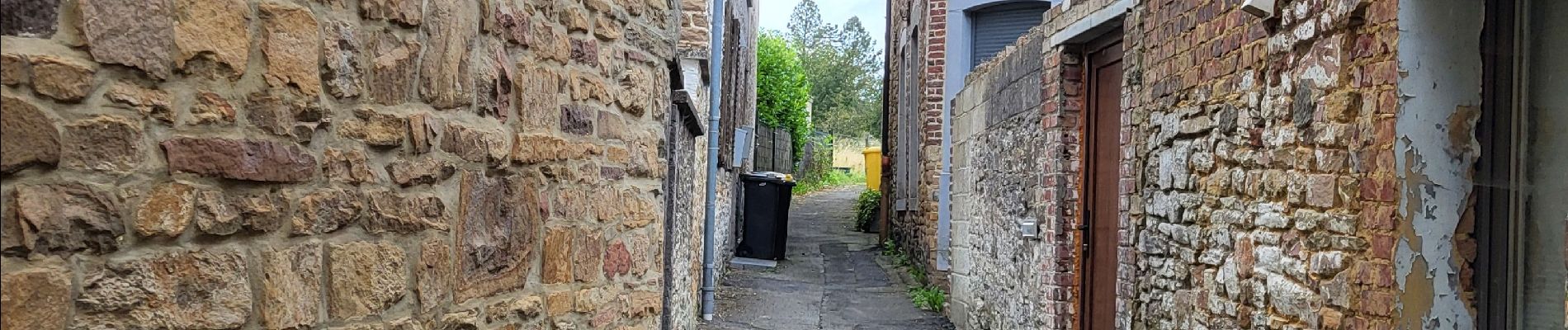
Belle rando mixte : sentiers chemins de campagne et forestiers
Photos


32 photos in total. Please click on a photo to see them all in the gallery.
Positioning
Country:
Belgium
Region :
Wallonia
Department/Province :
Namur
Municipality :
Profondeville
Location:
Lesve
Start:(Dec)
Start:(UTM)
626342 ; 5582143 (31U) N.
Comments