


nage jusqu'à la pointe et retour

cailloux54
User


Length
1.1 km

Max alt
373 m

Uphill gradient
9 m
Km-Effort
1.2 km

Min alt
361 m

Downhill gradient
9 m
Boucle
Yes
Creation date :
2024-08-11 14:34:24.736
Updated on :
2024-08-11 14:34:28.467
45m
Difficulty : Medium

FREE GPS app for hiking
 SityTrail
IGN / Geographical institutes
SityTrail Plus
The world is yours!
About
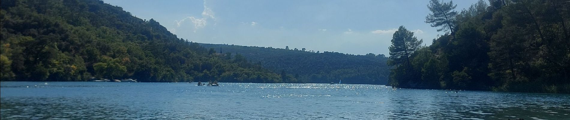
Trail Swimming of 1.1 km to be discovered at Provence-Alpes-Côte d'Azur, Alpes-de-Haute-Provence, Esparron-de-Verdon. This trail is proposed by cailloux54.
Photos

Positioning
Country:
France
Region :
Provence-Alpes-Côte d'Azur
Department/Province :
Alpes-de-Haute-Provence
Municipality :
Esparron-de-Verdon
Location:
Unknown
Start:(Dec)
Start:(UTM)
737410 ; 4848515 (31T) N.
Comments