


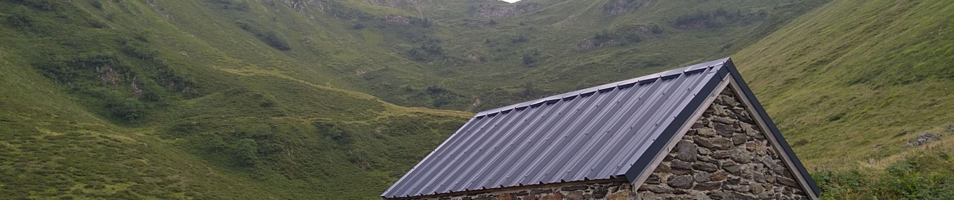
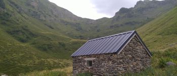
rando cabane de Bargueres

cl56
User
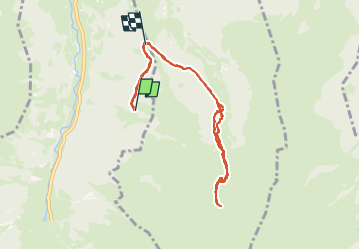

Length
10.3 km

Max alt
1799 m

Uphill gradient
487 m
Km-Effort
16.8 km

Min alt
1430 m

Downhill gradient
476 m
Boucle
No
Creation date :
2024-08-12 13:47:35.006
Updated on :
2024-08-13 14:57:37.978
5h00
Difficulty : Medium

FREE GPS app for hiking
 SityTrail
IGN / Geographical institutes
SityTrail Plus
The world is yours!
About
Trail Walking of 10.3 km to be discovered at Occitania, Haute-Garonne, Oô. This trail is proposed by cl56.
Description
Au dessus de Castillon de Larboust
Photos

Positioning
Country:
France
Region :
Occitania
Department/Province :
Haute-Garonne
Municipality :
Oô
Location:
Unknown
Start:(Dec)
Start:(UTM)
296828 ; 4739155 (31T) N.
Comments