


2024 08 Chaumiere t1

michel1025
User


Length
4.8 km

Max alt
126 m

Uphill gradient
85 m
Km-Effort
5.9 km

Min alt
77 m

Downhill gradient
84 m
Boucle
No
Creation date :
2024-08-15 08:19:51.0
Updated on :
2024-08-15 09:47:31.98
1h27
Difficulty : Easy

FREE GPS app for hiking
 SityTrail
IGN / Geographical institutes
SityTrail Plus
The world is yours!
About
Trail Walking of 4.8 km to be discovered at Ile-de-France, Essonne, Champcueil. This trail is proposed by michel1025.
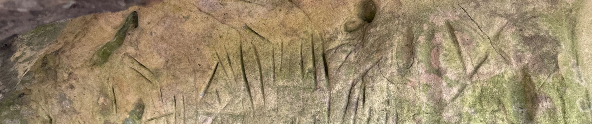
Photos

Positioning
Country:
France
Region :
Ile-de-France
Department/Province :
Essonne
Municipality :
Champcueil
Location:
Unknown
Start:(Dec)
Start:(UTM)
461333 ; 5372208 (31U) N.
Comments