


tt

Sigmut
User
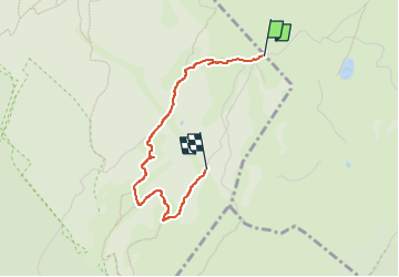

Length
2.5 km

Max alt
1575 m

Uphill gradient
141 m
Km-Effort
4.1 km

Min alt
1425 m

Downhill gradient
55 m
Boucle
No
Creation date :
2024-08-16 09:38:07.922
Updated on :
2024-08-16 11:47:46.703
55m
Difficulty : Easy

FREE GPS app for hiking
 SityTrail
IGN / Geographical institutes
SityTrail Plus
The world is yours!
About
Trail Walking of 2.5 km to be discovered at Auvergne-Rhône-Alpes, Ain, Lélex. This trail is proposed by Sigmut.
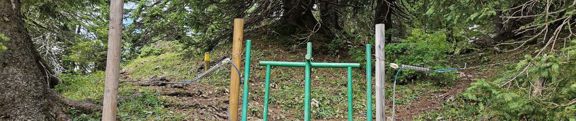
Photos


Positioning
Country:
France
Region :
Auvergne-Rhône-Alpes
Department/Province :
Ain
Municipality :
Lélex
Location:
Unknown
Start:(Dec)
Start:(UTM)
728044 ; 5130936 (31T) N.
Comments