


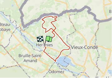
Hergnies

mjh
User

Length
12.9 km

Max alt
30 m

Uphill gradient
55 m
Km-Effort
13.7 km

Min alt
13 m

Downhill gradient
55 m
Boucle
Yes
Creation date :
2024-08-18 08:46:43.824
Updated on :
2024-08-18 12:36:26.012
3h13
Difficulty : Easy

FREE GPS app for hiking
 SityTrail
IGN / Geographical institutes
SityTrail Plus
The world is yours!
About
Trail Walking of 12.9 km to be discovered at Hauts-de-France, Nord, Hergnies. This trail is proposed by mjh.
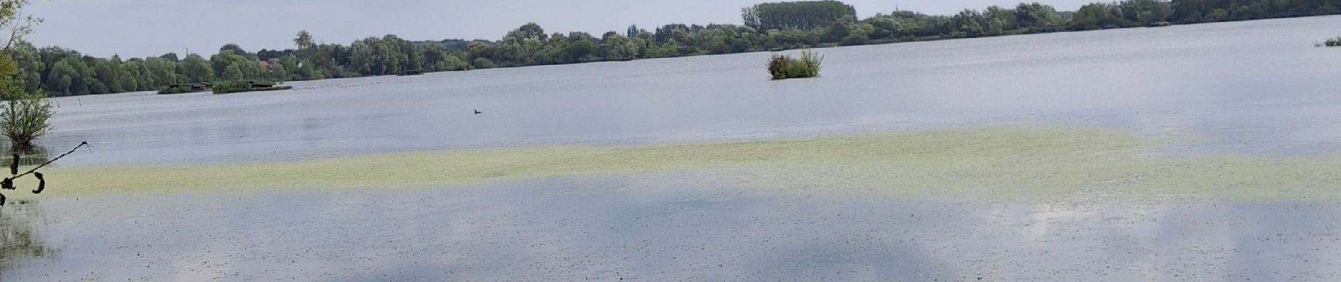
Photos


Positioning
Country:
France
Region :
Hauts-de-France
Department/Province :
Nord
Municipality :
Hergnies
Location:
Unknown
Start:(Dec)
Start:(UTM)
537158 ; 5591379 (31U) N.
Comments