


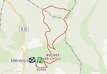
Col de Joux depuis Merens les Vals - Variante retour route forestiere

PhilB24
User


5h02
Difficulty : Medium

FREE GPS app for hiking
 SityTrail
IGN / Geographical institutes
SityTrail Plus
The world is yours!
About
Trail Walking of 12.3 km to be discovered at Occitania, Ariège, Mérens-les-Vals. This trail is proposed by PhilB24.
Description
Départ parking ancienne église Saint Pierre de Merens d'en haut. Montée au col de Joux par GR 107 (refuge non gardé), puis direction Chalet forestier de Courtal Jouan (tracé jaune) puis retour par route forestière de Larguis (variante) et GR 107. Pas de difficulté technique particulière.
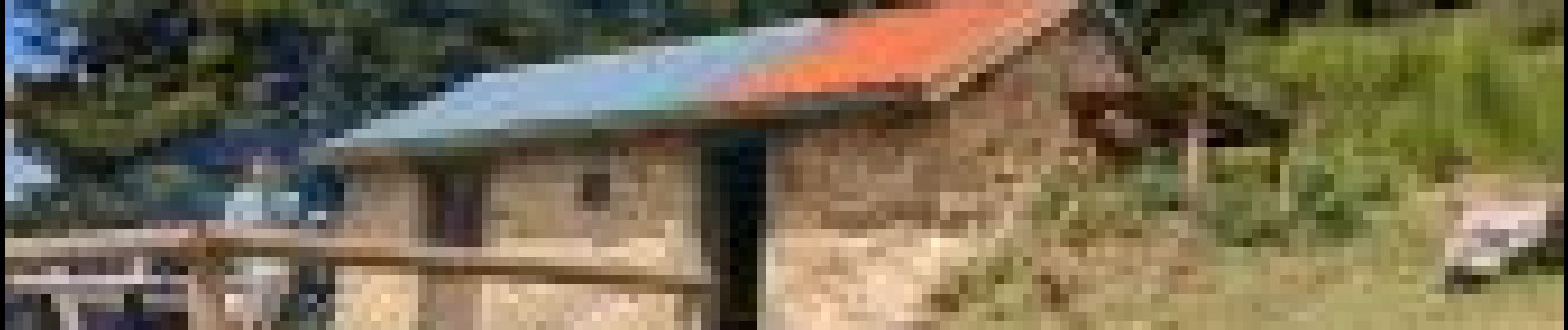
Photos

Positioning
Comments