


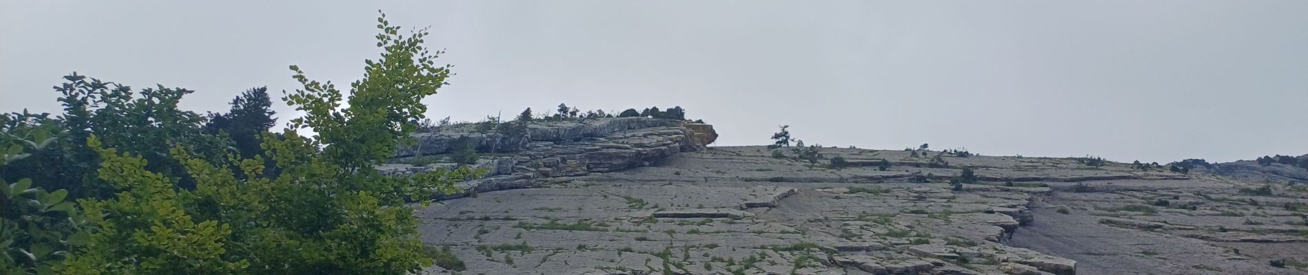
reconnaissance départ crête du roc des boeufs

fredtruc27
User
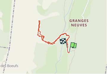

Length
2 km

Max alt
1382 m

Uphill gradient
139 m
Km-Effort
3.9 km

Min alt
1260 m

Downhill gradient
153 m
Boucle
Yes
Creation date :
2024-08-21 11:51:05.598
Updated on :
2024-08-21 14:09:48.093
2h13
Difficulty : Very difficult

FREE GPS app for hiking
 SityTrail
IGN / Geographical institutes
SityTrail Plus
The world is yours!
About
Trail Walking of 2 km to be discovered at Auvergne-Rhône-Alpes, Upper Savoy, Entrevernes. This trail is proposed by fredtruc27.
Description
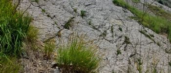
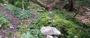
prévision d'un parcours d'alpinisme sur la crête du roc des boeufs.
ce parcours n'est pas à faire si vous voulez simplement faire de la rando
Photos


Positioning
Country:
France
Region :
Auvergne-Rhône-Alpes
Department/Province :
Upper Savoy
Municipality :
Entrevernes
Location:
Unknown
Start:(Dec)
Start:(UTM)
280326 ; 5070823 (32T) N.
Comments