


Vtt Mandailles

lorenzot54
User
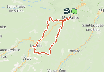

Length
34 km

Max alt
1283 m

Uphill gradient
1132 m
Km-Effort
49 km

Min alt
727 m

Downhill gradient
1130 m
Boucle
Yes
Creation date :
2024-08-22 07:57:03.0
Updated on :
2024-08-22 14:27:48.167

FREE GPS app for hiking
 SityTrail
IGN / Geographical institutes
SityTrail Plus
The world is yours!
About
Trail of 34 km to be discovered at Auvergne-Rhône-Alpes, Cantal, Mandailles-Saint-Julien. This trail is proposed by lorenzot54.
Positioning
Country:
France
Region :
Auvergne-Rhône-Alpes
Department/Province :
Cantal
Municipality :
Mandailles-Saint-Julien
Location:
Unknown
Start:(Dec)
Start:(UTM)
472953 ; 4990721 (31T) N.
Comments