


Lac Vert, lac du Forlet

rigol05
User
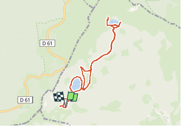

Length
9.1 km

Max alt
1180 m

Uphill gradient
310 m
Km-Effort
13.2 km

Min alt
1037 m

Downhill gradient
312 m
Boucle
Yes
Creation date :
2024-08-28 07:47:46.67
Updated on :
2024-09-25 16:49:10.344
3h02
Difficulty : Medium

FREE GPS app for hiking
 SityTrail
IGN / Geographical institutes
SityTrail Plus
The world is yours!
About
Trail Walking of 9.1 km to be discovered at Grand Est, Haut-Rhin, Soultzeren. This trail is proposed by rigol05.
Description
Rando du 28-08-2024
Itinéraire classique et assez fréquenté.
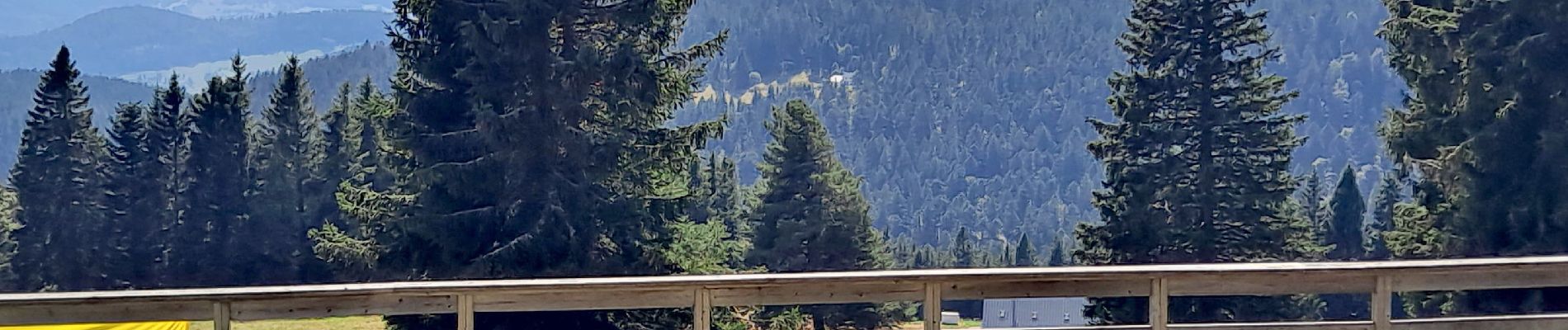
Photos


Positioning
Country:
France
Region :
Grand Est
Department/Province :
Haut-Rhin
Municipality :
Soultzeren
Location:
Unknown
Start:(Dec)
Start:(UTM)
355553 ; 5327388 (32U) N.
Comments