


Logbiermé /”point satellite ”

Chanchan63
User
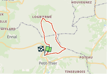

Length
9.7 km

Max alt
614 m

Uphill gradient
231 m
Km-Effort
12.8 km

Min alt
498 m

Downhill gradient
224 m
Boucle
Yes
Creation date :
2024-08-11 10:49:37.164
Updated on :
2024-08-29 12:14:06.217
2h16
Difficulty : Easy

FREE GPS app for hiking
 SityTrail
IGN / Geographical institutes
SityTrail Plus
The world is yours!
About
Trail Walking of 9.7 km to be discovered at Wallonia, Luxembourg, Vielsalm. This trail is proposed by Chanchan63.
Description
jolie balade, point intéressant...
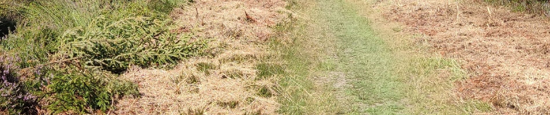
Photos


Positioning
Country:
Belgium
Region :
Wallonia
Department/Province :
Luxembourg
Municipality :
Vielsalm
Location:
Unknown
Start:(Dec)
Start:(UTM)
711003 ; 5577705 (31U) N.
Comments