


Ploudalmezeau - Ribl - Ploudalmezeau

nolsim
User
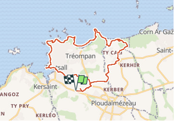

Length
19 km

Max alt
39 m

Uphill gradient
128 m
Km-Effort
21 km

Min alt
-2 m

Downhill gradient
128 m
Boucle
Yes
Creation date :
2024-09-03 06:52:29.575
Updated on :
2024-09-05 14:22:53.468
5h59
Difficulty : Easy

FREE GPS app for hiking
 SityTrail
IGN / Geographical institutes
SityTrail Plus
The world is yours!
About
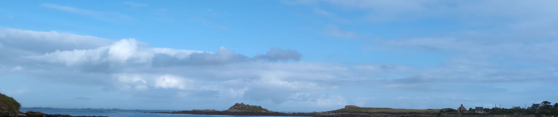
Trail Walking of 19 km to be discovered at Brittany, Finistère, Ploudalmézeau. This trail is proposed by nolsim.
Photos


Positioning
Country:
France
Region :
Brittany
Department/Province :
Finistère
Municipality :
Ploudalmézeau
Location:
Unknown
Start:(Dec)
Start:(UTM)
375713 ; 5378459 (30U) N.
Comments