


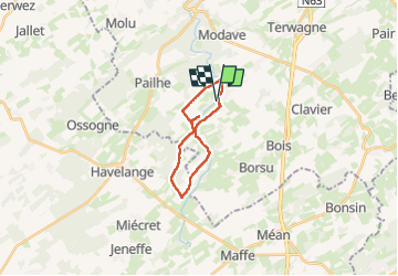
Les Avins 290824

guyernage25
User


16m
Difficulty : Medium

FREE GPS app for hiking
 SityTrail
IGN / Geographical institutes
SityTrail Plus
The world is yours!
About
Trail Walking of 16.9 km to be discovered at Wallonia, Liège, Clavier. This trail is proposed by guyernage25.
Description
très belle rando condruzienne
ATTENTION : le retour de Pâtit Avin vers Les Avins devra impérativement se faire par le révélation (sentier sur la rive gauche du Hoyoux supprimé
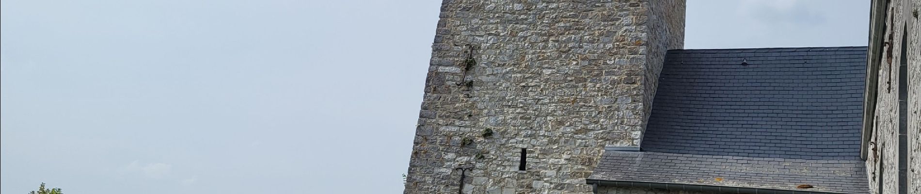
Photos


33 photos in total. Please click on a photo to see them all in the gallery.
Positioning
Comments