


Sob 2 buno briarres

Glurps
User

Length
28 km

Max alt
114 m

Uphill gradient
339 m
Km-Effort
33 km

Min alt
65 m

Downhill gradient
324 m
Boucle
No
Creation date :
2024-09-09 07:00:04.0
Updated on :
2024-09-10 07:04:38.727

FREE GPS app for hiking
 SityTrail
IGN / Geographical institutes
SityTrail Plus
The world is yours!
About
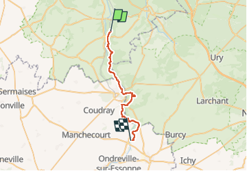
Trail of 28 km to be discovered at Ile-de-France, Essonne, Buno-Bonnevaux. This trail is proposed by Glurps.
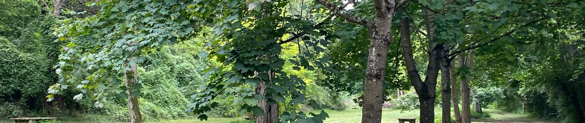
Photos


Positioning
Country:
France
Region :
Ile-de-France
Department/Province :
Essonne
Municipality :
Buno-Bonnevaux
Location:
Unknown
Start:(Dec)
Start:(UTM)
454968 ; 5358537 (31U) N.
Comments