


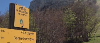
Gde chartreuse- Col de la ruche`re

Bogapuki
User
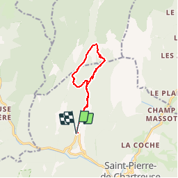

Length
10.2 km

Max alt
1433 m

Uphill gradient
609 m
Km-Effort
18.3 km

Min alt
834 m

Downhill gradient
607 m
Boucle
Yes
Creation date :
2018-11-25 09:19:21.889
Updated on :
2018-11-25 09:19:21.889
3h46
Difficulty : Medium

FREE GPS app for hiking
 SityTrail
IGN / Geographical institutes
SityTrail Plus
The world is yours!
About
Trail Walking of 10.2 km to be discovered at Auvergne-Rhône-Alpes, Isère, Saint-Pierre-de-Chartreuse. This trail is proposed by Bogapuki.
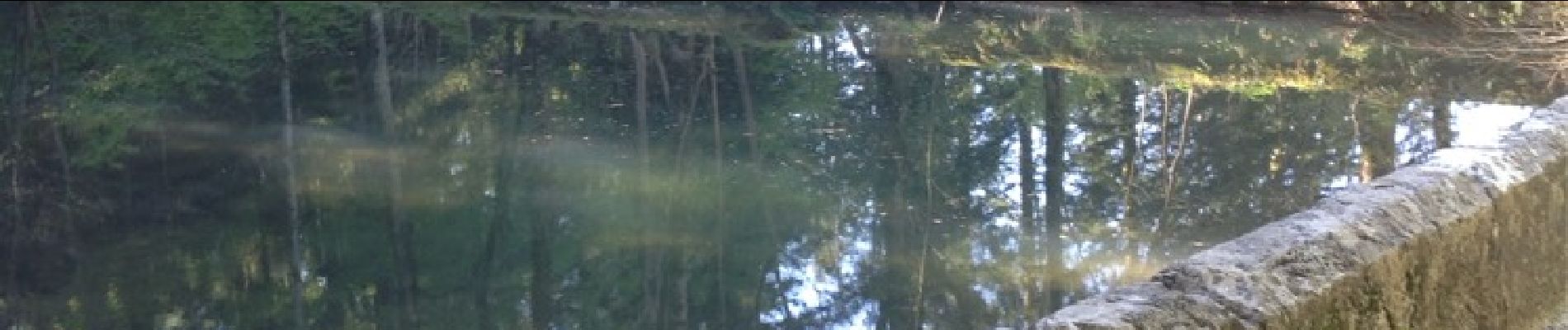
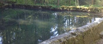
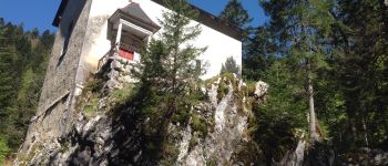
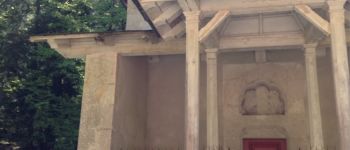
Photos


Positioning
Country:
France
Region :
Auvergne-Rhône-Alpes
Department/Province :
Isère
Municipality :
Saint-Pierre-de-Chartreuse
Location:
Unknown
Start:(Dec)
Start:(UTM)
718375 ; 5026232 (31T) N.
Comments