


Sob 4 pithiviers chilleur

Glurps
User
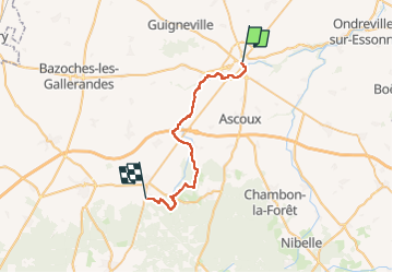

Length
29 km

Max alt
142 m

Uphill gradient
222 m
Km-Effort
32 km

Min alt
98 m

Downhill gradient
213 m
Boucle
No
Creation date :
2024-09-11 07:18:07.0
Updated on :
2024-09-11 17:02:28.439

FREE GPS app for hiking
 SityTrail
IGN / Geographical institutes
SityTrail Plus
The world is yours!
About
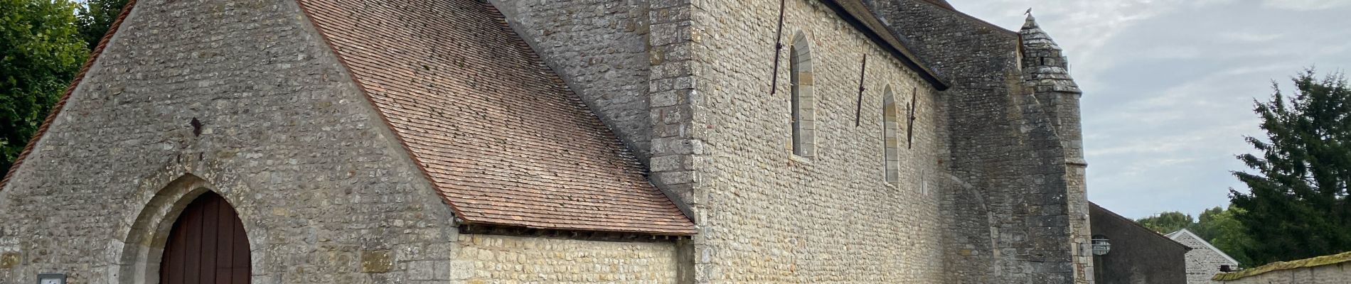
Trail of 29 km to be discovered at Centre-Loire Valley, Loiret, Pithiviers. This trail is proposed by Glurps.
Photos


Positioning
Country:
France
Region :
Centre-Loire Valley
Department/Province :
Loiret
Municipality :
Pithiviers
Location:
Unknown
Start:(Dec)
Start:(UTM)
444505 ; 5335899 (31U) N.
Comments