


Chapelle du Kolben - Rainkopf - Rothenbakopf

lemuid
User

Length
10.8 km

Max alt
1304 m

Uphill gradient
620 m
Km-Effort
19 km

Min alt
699 m

Downhill gradient
621 m
Boucle
Yes
Creation date :
2024-09-12 07:55:03.613
Updated on :
2025-06-30 09:11:46.094
4h19
Difficulty : Very difficult

FREE GPS app for hiking
 SityTrail
IGN / Geographical institutes
SityTrail Plus
The world is yours!
About
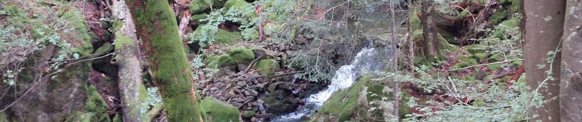
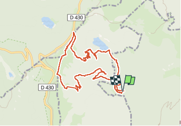
Trail Walking of 10.8 km to be discovered at Grand Est, Haut-Rhin, Mittlach. This trail is proposed by lemuid.
Photos

Positioning
Country:
France
Region :
Grand Est
Department/Province :
Haut-Rhin
Municipality :
Mittlach
Location:
Unknown
Start:(Dec)
Start:(UTM)
350995 ; 5318409 (32U) N.
Comments