


Labeaume pour azur

alinetpierre
User


Length
13.3 km

Max alt
279 m

Uphill gradient
336 m
Km-Effort
17.8 km

Min alt
113 m

Downhill gradient
339 m
Boucle
Yes
Creation date :
2024-09-12 07:55:02.0
Updated on :
2024-09-13 17:27:09.217

FREE GPS app for hiking
 SityTrail
IGN / Geographical institutes
SityTrail Plus
The world is yours!
About
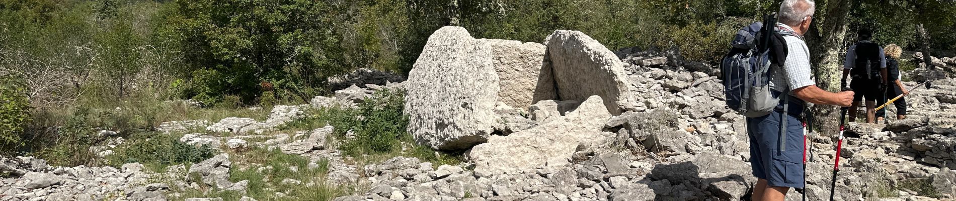
Trail of 13.3 km to be discovered at Auvergne-Rhône-Alpes, Ardèche, Labeaume. This trail is proposed by alinetpierre.
Description
Très belle randonnée à faire et refaire sans modération
Photos

Positioning
Country:
France
Region :
Auvergne-Rhône-Alpes
Department/Province :
Ardèche
Municipality :
Labeaume
Location:
Unknown
Start:(Dec)
Start:(UTM)
603955 ; 4922426 (31T) N.
Comments